Geographic Location
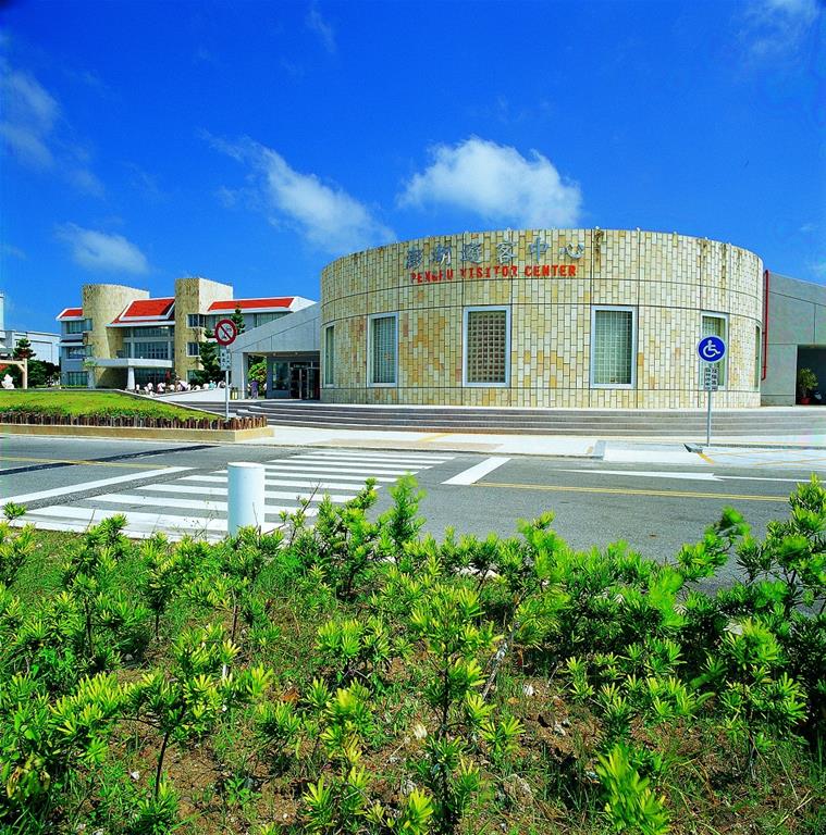
The Penghu Islands have been a strategic hub for navigation in East Asia and a vital barrier in the Taiwan Straits since ancient times, and a stopover for the Chinese on their voyages to their far seas and their migration to new lands.
The islands stretch 60 kilometers north to south and 40 kilometers east to west. Their extremities are Chamuyu in the east, Huayu in the west, Qi meiyu in the south, and Mudouyu in the north.
The Penghu Islands are scattered in seas where a branch of the Japan Current passes by, bringing with it a wealth of marine resources. The islands, only 20 of which are inhabited, have a total land area of approximately 127 square kilometers; the largest are, in descending order, Magong Main Island, Siyu, Baisha, Qi mei, and Wangan. Their shorelines stretch for a total of 320 kilometers.
Geology and topography
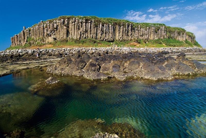
Radioactive dating shows that the Penghu Islands had already taken primitive form 8 million to 17 million years ago, and wave erosion and weathering in the eons since have given the islands the unique topography we see today.
The movement of tectonic plates created cracks in the earth’s crust, allowing high pressure to force hot lava to the surface, where in the air and the water it gradually cooled and hardened. Later rises and falls of the earth’s crust helped give the Penghu Islands the unique topographical features we see today.
As it cooled, molten rock hardened and formed into natural many-sided columns and plate patterns. The most spectacular walls of basalt-column formations are seen at Tongpanyu in the South Sea recreation system. In the northeastern part of the archipelago, Jishanyu, Dinggouyu, and Xiaobaishayu have been designated as basalt nature preserves.
Wave erosion along the winding course of Penghu’s shorelines has created a varied pastiche of sea cliffs and shorelines. Holes carved by waves create the famous “organ sounds” at Fongguei, and waves also wore out the arch now known as the “Whale Hole of Xiaomen.” Such features give the basalt coasts of Penghu an added sense of life and vitality.
Most of the islands of the archipelago are low and flat-topped, and surrounded by steep cliffs. They average only 20 to 50 meters in height; the highest is Maoyu, at 70 meters. Their height generally diminishes from south to north; the northernmost, Mudouyu, is just 15 meters high. Viewed from sea level at a distance, they are clearly seen to be flat on top, like overturned platters floating on the sea.
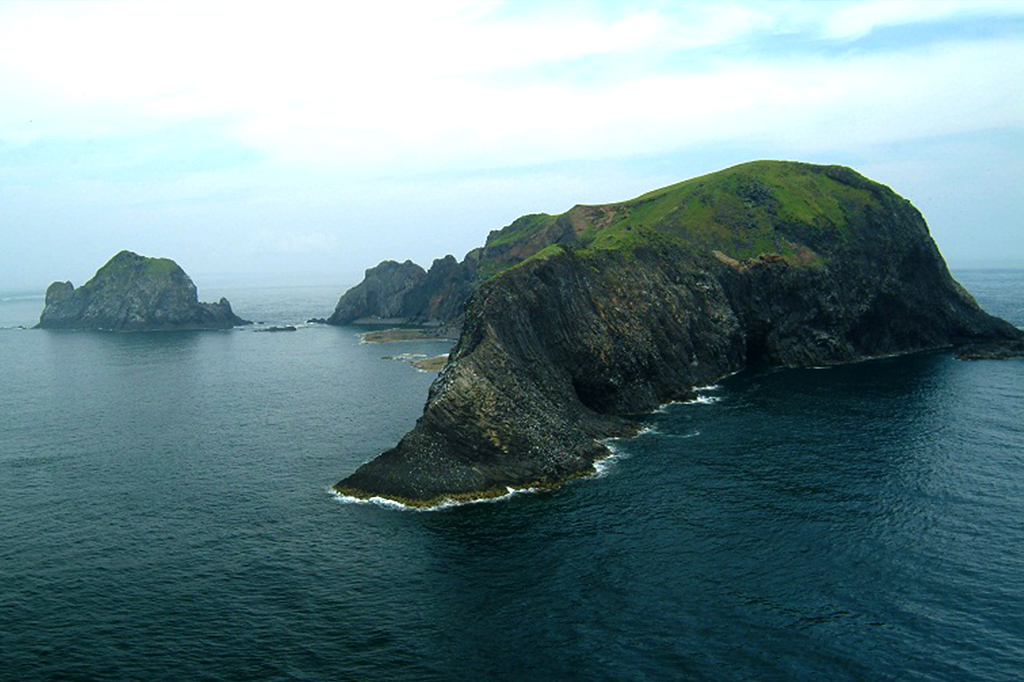
Maoyu
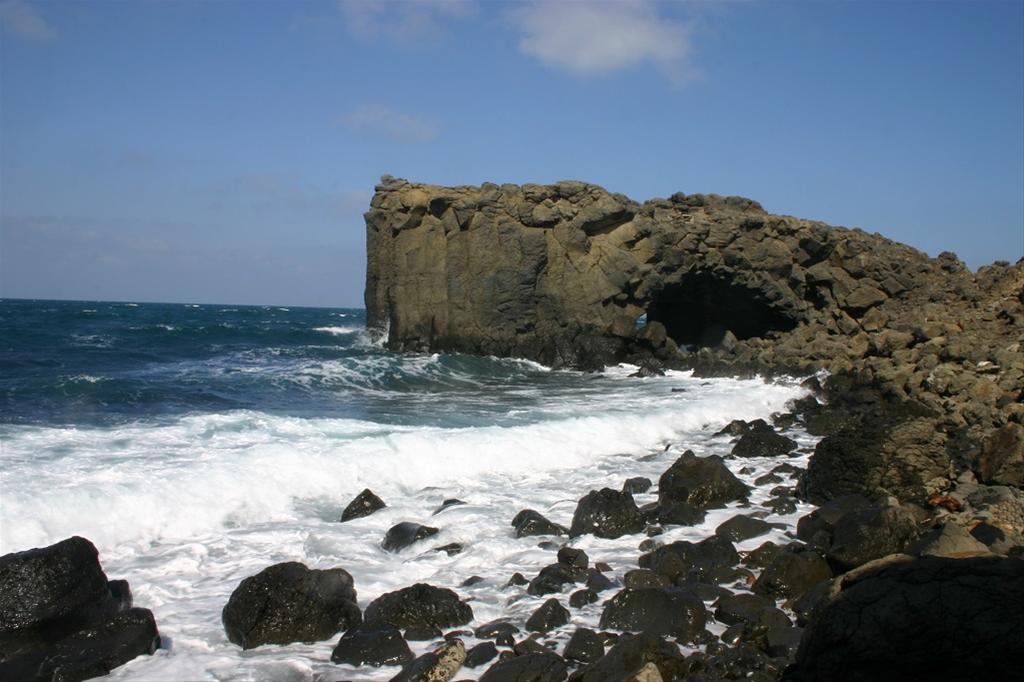
Whale Cave
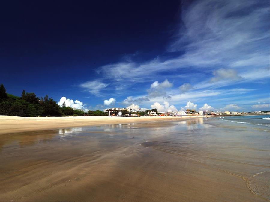
The islands are buffeted by strong northeasterly monsoons, and exposed rock has been weathered away in layers, like onions. This phenomenon can be seen at Xiaomen on Siyu and on many other exposed rock cliffs and slopes that face north. The badlands terrain at Dingxi on Qi mei is the result of the erosion of clay layers being washed away by rainwater. In addition, the action of the wind has blown sand over higher areas and deposited it on the leeward slopes of those areas, forming dunes. Beach terrain has been formed by coral, seashell, and rock sand deposited by sea currents in bay areas where the currents moderate.
The Penghu Islands offer a rich diversity of spectacular geological scenes and landscapes. Here, the efforts of the Creator have left a marvel of stone sculptures, providing an ideal natural outdoor classroom.
